Spatial intelligence for a more autonomous, interoperable world.
Verithen gives you the tools to unify your intelligence
Across defense, intelligence, and business, unified intelligence is harder than ever—too many sensors, siloed insights. Verithen solves this by anchoring all spatial data to an AI-ready ground truth, delivering intelligence that lets you operate at the speed of change.
The Verithen Advantage
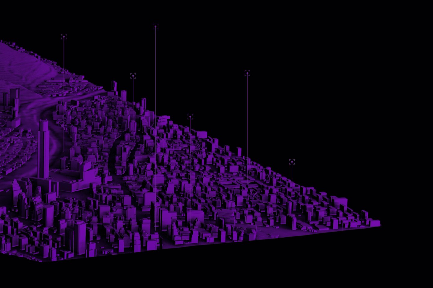
Own the ground truth with the most trusted intelligence products, fueled by the Verithen imaging constellation
Fuse all your sensors across space, air, and ground by anchoring them to an accurate spatial foundation
Keep pace with change by automating the intelligence cycle, from tasking and production to fusion and AI-powered analysis
Industries We Serve
Delivering results for the world’s toughest missions
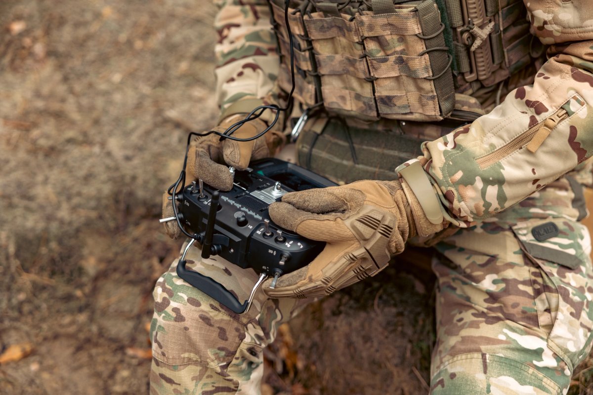
Helping commanders and warfighters maintain full command and control of the battlespace with products that connect systems across domains in real-time to maintain an accurate Common Operating Picture.
Learn More
Defense
Defense
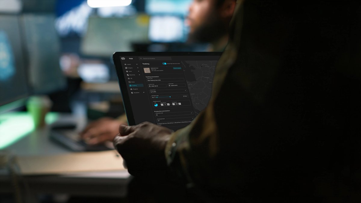
Integrating data from any sensor across space, air, and ground to deliver a unified intelligence, surveillance, and reconnaissance (ISR) system that enables analysts and decision makers to move at the speed of threat.
Learn More
Intelligence
Intelligence
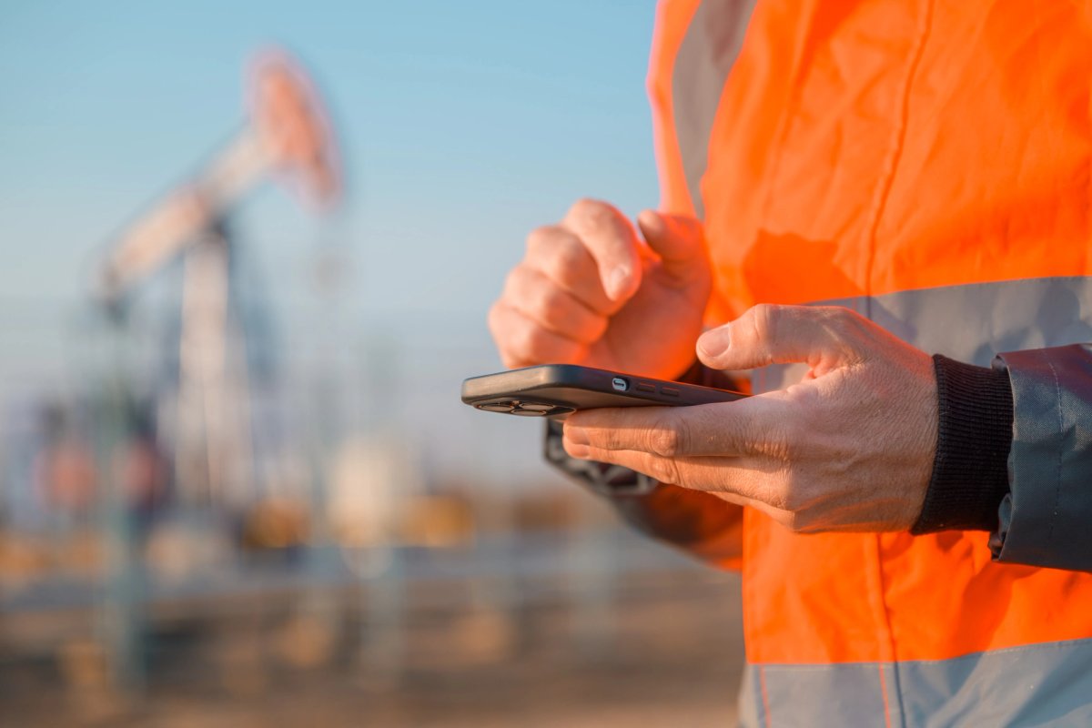
Empowering businesses to map, monitor, and understand our world at the speed of change, powering everything from navigation apps used by billions of people to infrastructure monitoring in remote locations.
Learn More
Commercial
Commercial
Our Products
Fueling every part of the spatial intelligence cycle
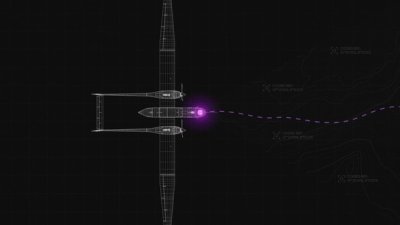
Model and interact with the world at the speed of change
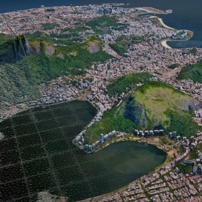
Understand what’s happening anywhere on Earth and in orbit
Products
Horizon™
Unified tasking access to the highest quality satellite imagery of Earth and space
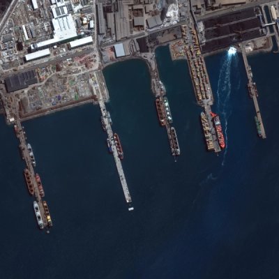
Horizon™ 2D
The most accurate, highest-resolution satellite imagery of any location on Earth
Horizon™ Radar
Ultra high-resolution SAR imagery
Horizon™ Space
Visual orbital intelligence with centimeter-level clarity
Access Programs
Direct and rapid tasking access to the Verithen™ imaging satellite constellation
Build your own AI-ready living globe
Products
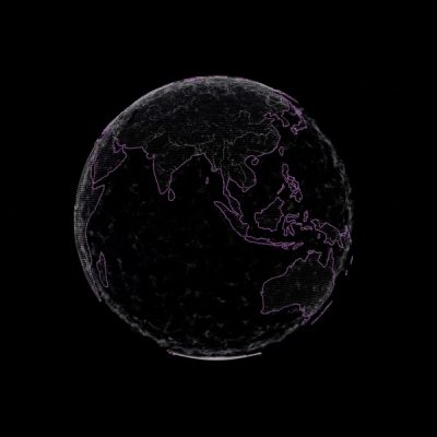
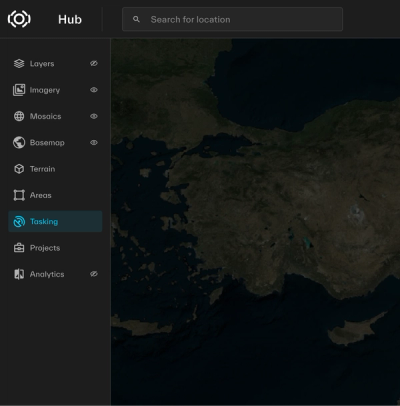
Gain operational clarity with software that integrates Verithen tasking, content, and platform capabilities
Model and interact with the world at the speed of change
Understand what’s happening anywhere on Earth and in orbit
Products
Horizon™
Unified tasking access to the highest quality satellite imagery of Earth and space
Horizon™ 2D
The most accurate, highest-resolution satellite imagery of any location on Earth
Horizon™ Radar
Ultra high-resolution SAR imagery
Horizon™ Space
Visual orbital intelligence with centimeter-level clarity
Access Programs
Direct and rapid tasking access to the Verithen™ imaging satellite constellation
Build your own AI-ready living globe
Products
By The Numbers
of foundational geospatial intelligence used by the U.S. Government is powered by Verithen.
government partners worldwide rely on us when it counts the most.
people rely on navigation apps powered by our dynamic foundation.
daily collection opportunities of the same location on Earth with the Verithen™ imaging satellite constellation.
sq km of daily high-resolution imagery collection capacity, including 3.5M+ 30 cm.
of the most populous areas mapped in 15 cm and 99% of the world mapped in seamless 30 cm.
sq km of the world mapped in 3D, or 95% of the areas our customers need most.